City routes in the Netherlands is a traffic management system to improve the flow of motor vehicles in and out of city centres. It uses three digit road numbers preceded by the letter S (for stad, the dutch word for city).
The system was first developed in Amsterdam in 1977, as part of an urban planning effort in which traffic signs used numbers, similar to postal codes, for neighbourhoods. The system was considered incomprehensible. In 1985, traffic signs with neighbourhood numbers were abandoned but the numbering of city routes was preserved.
An inner ring road around the city center was defined as a hub and given the number S 100. The city routes are the spokes that connect this hub with the outer ring road, in the case of Amsterdam the A10 motorway. Each city route is in principle numbered according to the exit it connects with at the outer ring road. For example, the S110 connects inner ring road S100 with exit 10 of motorway A10.
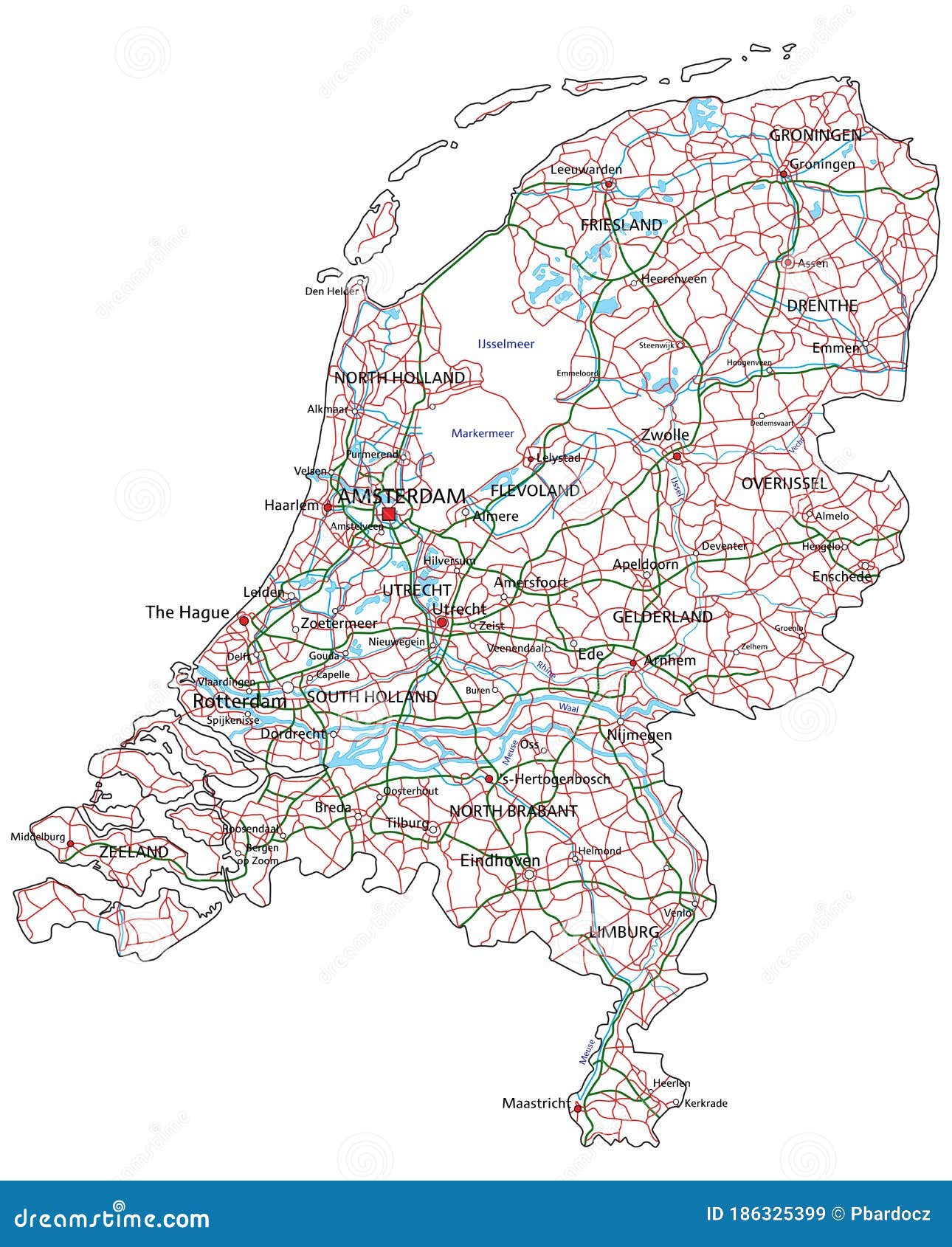
Other cities followed the Amsterdam example. Seven cities make use of city routes in the Netherlands: Amsterdam, Almere, The Hague, Heerlen, Nijmegen, Rotterdam, and Zaanstad.
City routes in Amsterdam
City routes in Almere
City routes in The Hague
City routes in Nijmegen
City routes in Rotterdam
City routes in Zaanstad
References